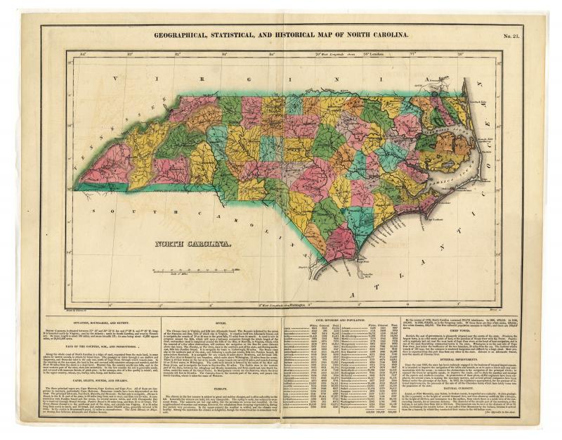
Geographical, statistical, and historical map of North Carolina (1823)
The map reflects a situation date of 1821 and the sixty-one counties in existence at that time are both named and delineated and colored in shades of green, pink, and yellow. Relief shown by hachures. Major towns and principal roads are shown, as are the usual topographical features such as mountains, rivers, and swamps. Longitude is measured both from London and Washington. The map is on page 23 of A Complete Historical, Chronological, and Geographical American Atlas, and is accompanied by a narrative description on the same page containing statistical and geographical information about the state.

Creative Commons BY-NC-SA
This item has a Creative Commons license for re-use. This Creative Commons BY-NC-SA license means that you may use, remix, tweak, and build upon the work for non-commerical purposes as long as you credit the original creator and as long as you license your new creation using the same license. For more information about Creative Commons licensing and a link to the license, see full details at https://creativecommons.org/licenses/by-nc-sa/4.0/.